
ATR close to the EDG2E
ATR is more than close to the EDG²E and this is good news! We’re actually a key player in the European project focused on the development of a dual-frequency, multi-constellation receiver for enhanced navigation.
EDG2E stands for Equipment for Dual frequency Galileo, the European satellite navigation system deployed since 2016, GPS and EGNOS. EGNOS stands for European Geostationary Navigation Overlay Service. But what do these acronyms mean for navigation, regional aviation and ATR?
With global air traffic continuing to increase, there is growing pressure to better utilise our airspace. EGNOS helps accomplish this by enabling more accurate and safer routes, optimising airport access and improving flight safety. Today’s EGNOS exclusively use the American GPS system, receiving it on the L1 standard frequency. Due to the lack of other means of navigation, operators are highly dependent on GPS, making any loss of availability a problem.
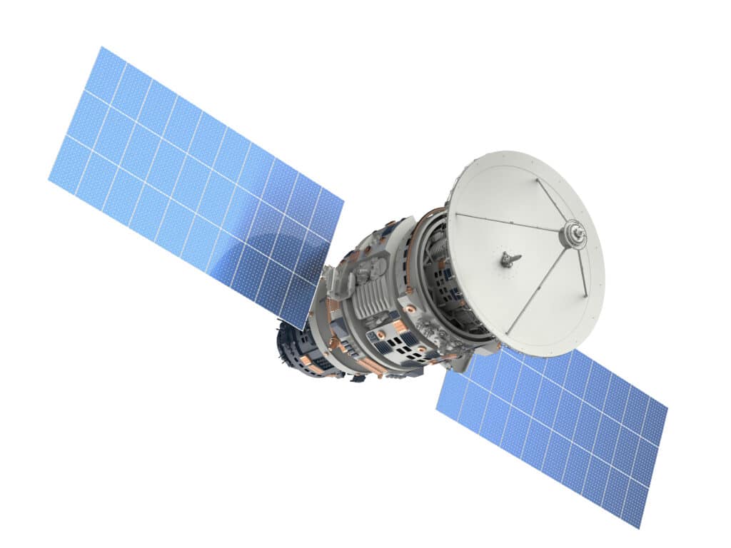
EDG2E is the prototyping stage of the major European project to improve navigation and landing safety and continuity all over the planet. The prototype receiver developed in the framework of the EDG²E project will use the signals emitted by the American and European positioning systems, respectively GPS and Galileo, as well as the EGNOS multi-constellation Space Based Augmentation System (SBAS).
As of 31 July 2019, more than 800 million mobile phones benefit from the European Galileo positioning system!
ATR in the front line
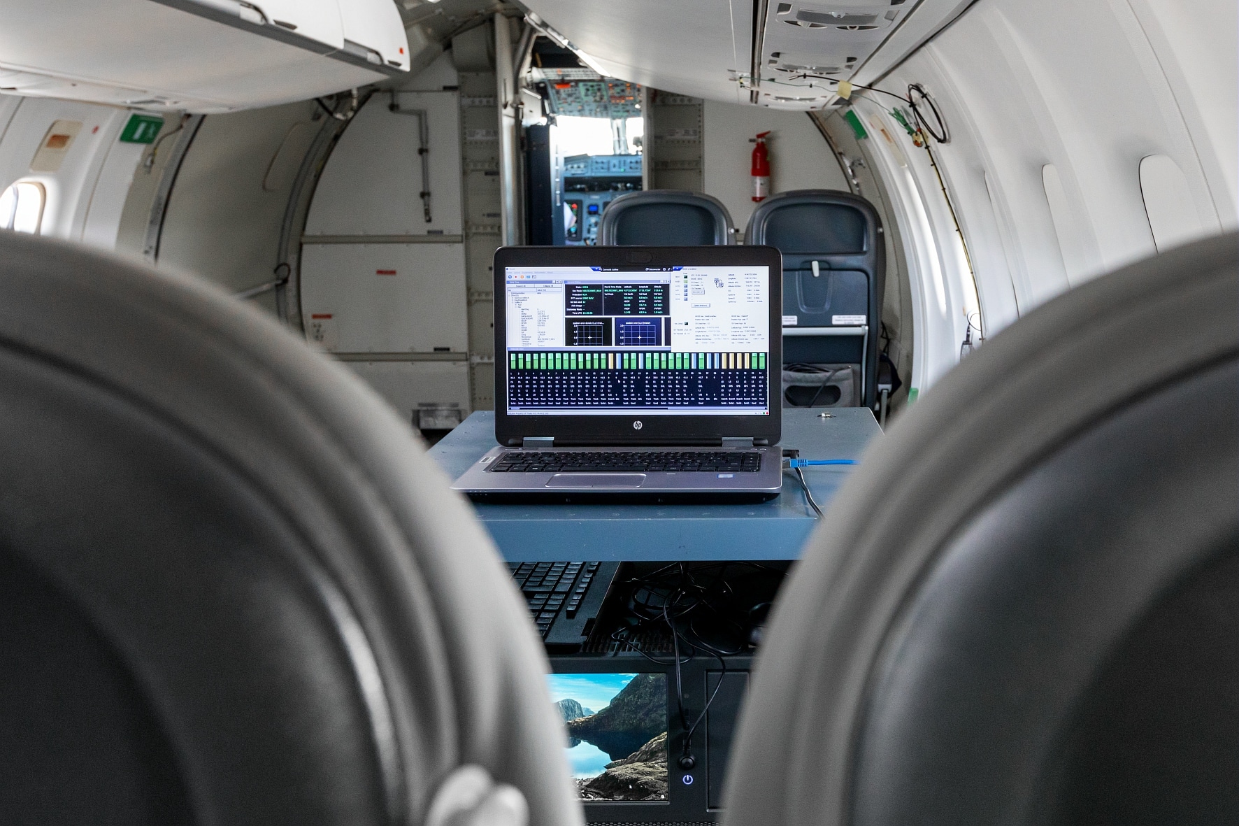
EDG2E is a project managed by Thales, as part of a consortium that also benefits from the skills of major European industry and aviation players. The performance of the prototype receiver will be evaluated during a flight test campaign which we will be leading, using one of our test aircraft.
Galileo: everybody is concerned!
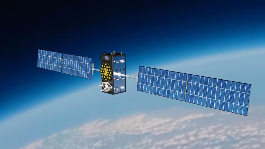
Galileo complements and improves GPS (Global Positioning System), the American system deployed between 1973 and 1995 and which has today become indispensable. Galileo offers one-metre accuracy, whereas GPS gives positioning to within ten metres, as well as greater time accuracy for civil uses. It improves service reliability and user security in a large number of everyday applications (meteorology, agriculture, aviation, emergency response, connected objects, etc.) and in the near future it will contribute to the emergence of autonomous vehicles, where geolocation plays a key role. In cities, interoperability between GPS and Galileo will help mitigate or even eliminate the “street canyon” phenomenon. What is this? If it is to be correctly detected, a mobile device needs to capture at least 4 satellite signals at the same time. In an urban environment, the narrowness of the streets and the height of the buildings frequently get in the way of the satellite signals, preventing access to telephone applications using geolocation. Thanks to its constellation of 30 satellites, Galileo supplements the GPS system by compensating for signal losses.
The European GNSS Agency (GSA) has set up a website listing all the compatible applications and equipment. A practical test to find out whether your favourite mobile phone or tablet is compatible! More information at usegalileo.eu.
Share this article